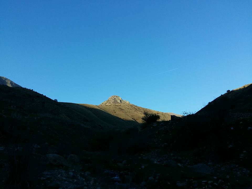
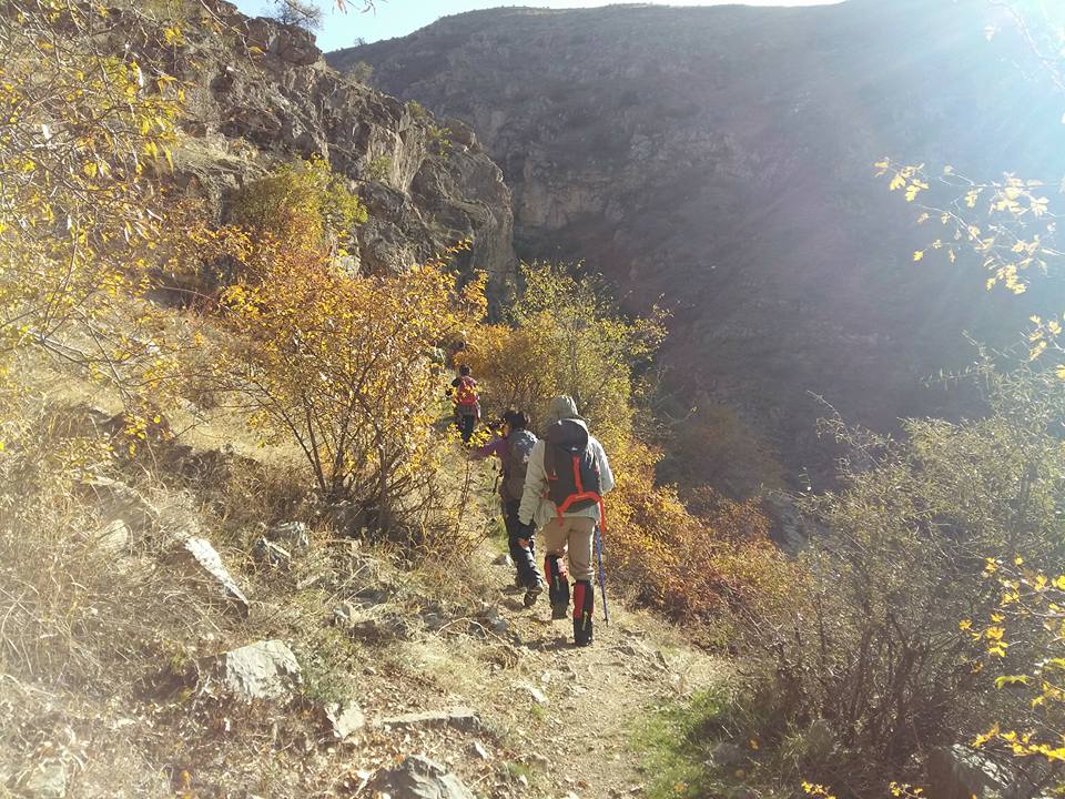
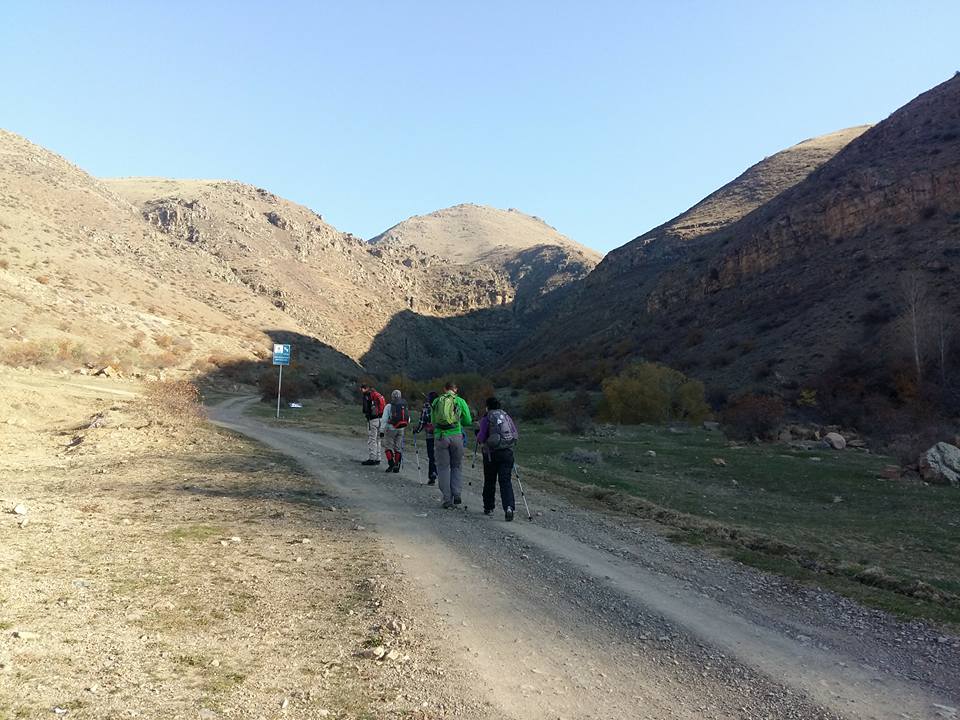
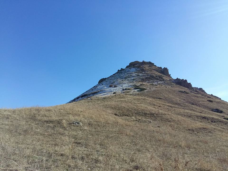
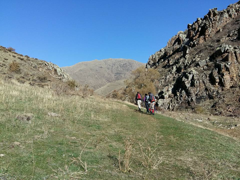
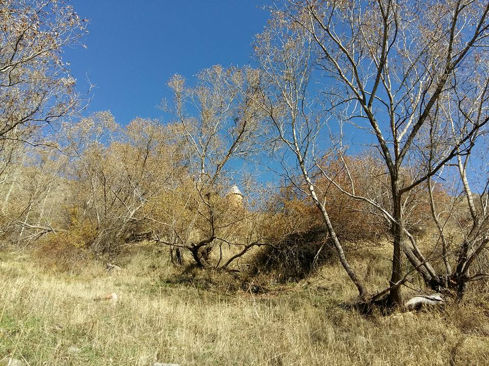
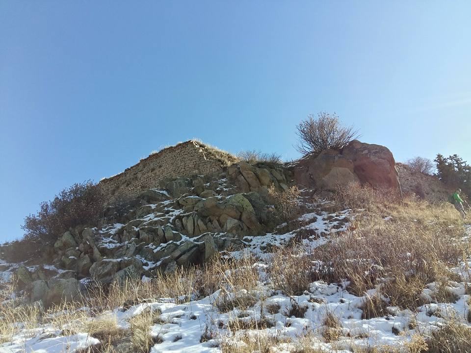
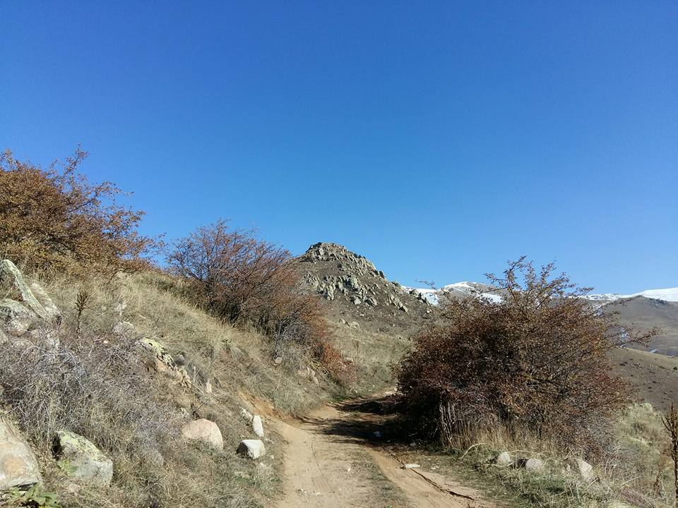
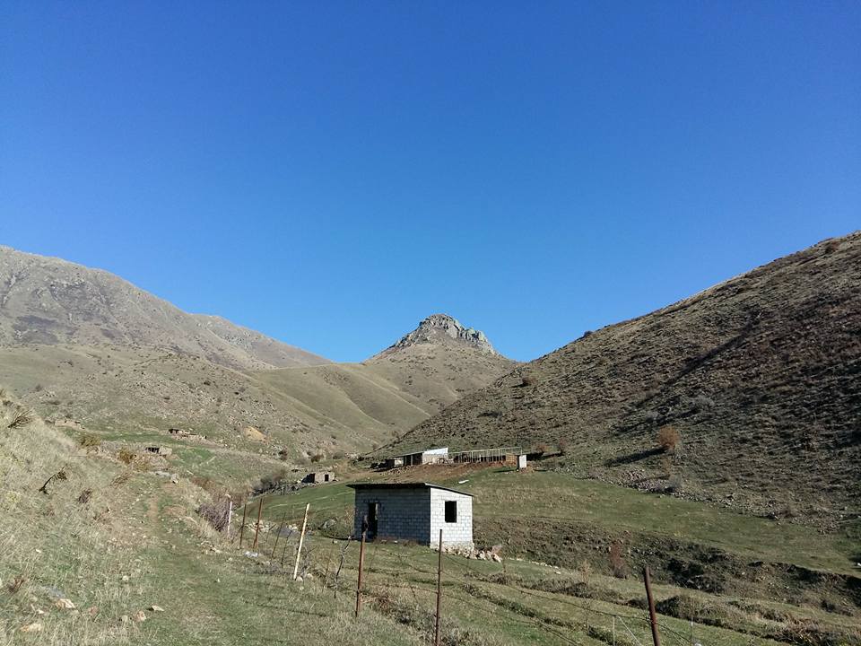
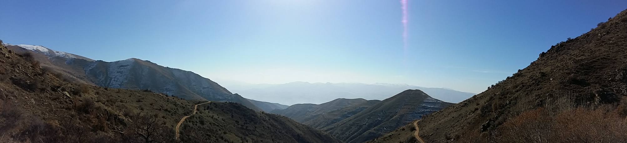
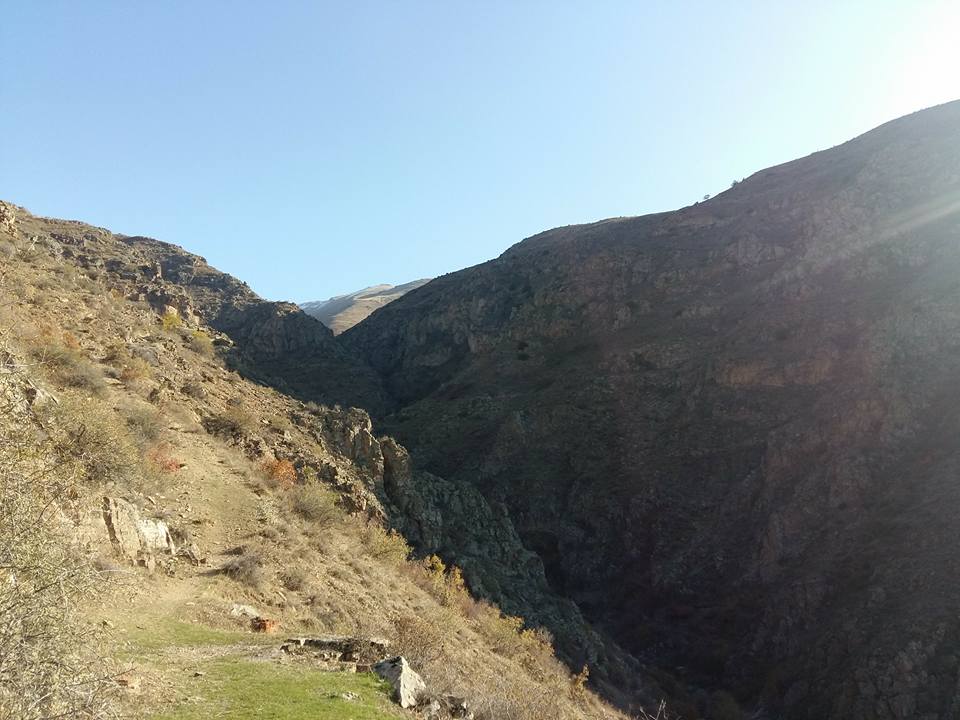
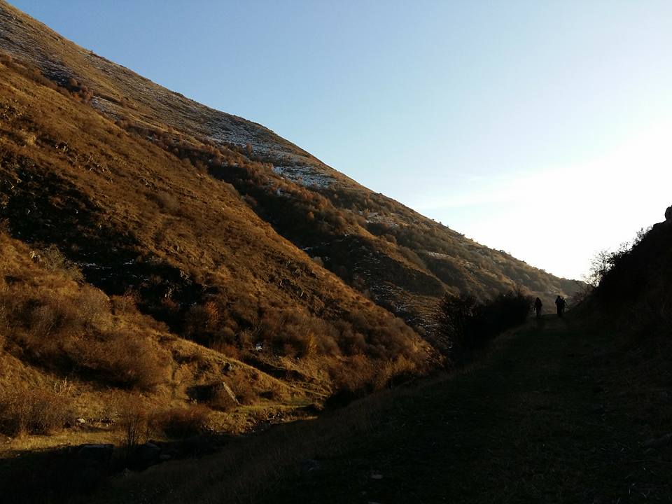
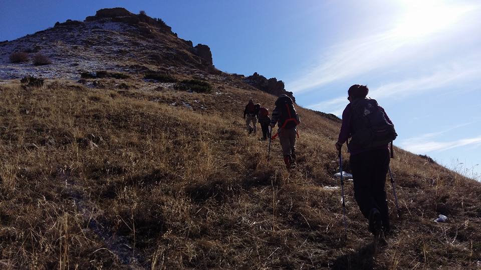
The trail starts from Vernashen village in Vayots-Dzor province, it leads to Spitakavor Monastery (14th c.) and Proshaberd (Boloraberd) Fortress (13th c.). The terrain is moderate and passes through forests for about 7 km to get to the Monastery, thereafter for about 2 km through steep slopes up to the ruins of Proshaberd Fortress. Several kilometers from the Fortress, you will come across with ruins of an old town.
Even-though you can take the same trail back to Vernashen but it is highly recommended to go around Proshaberd where you will find the steep slopes and high cliffs surrounding the Fortress, making it inaccessible for invaders.
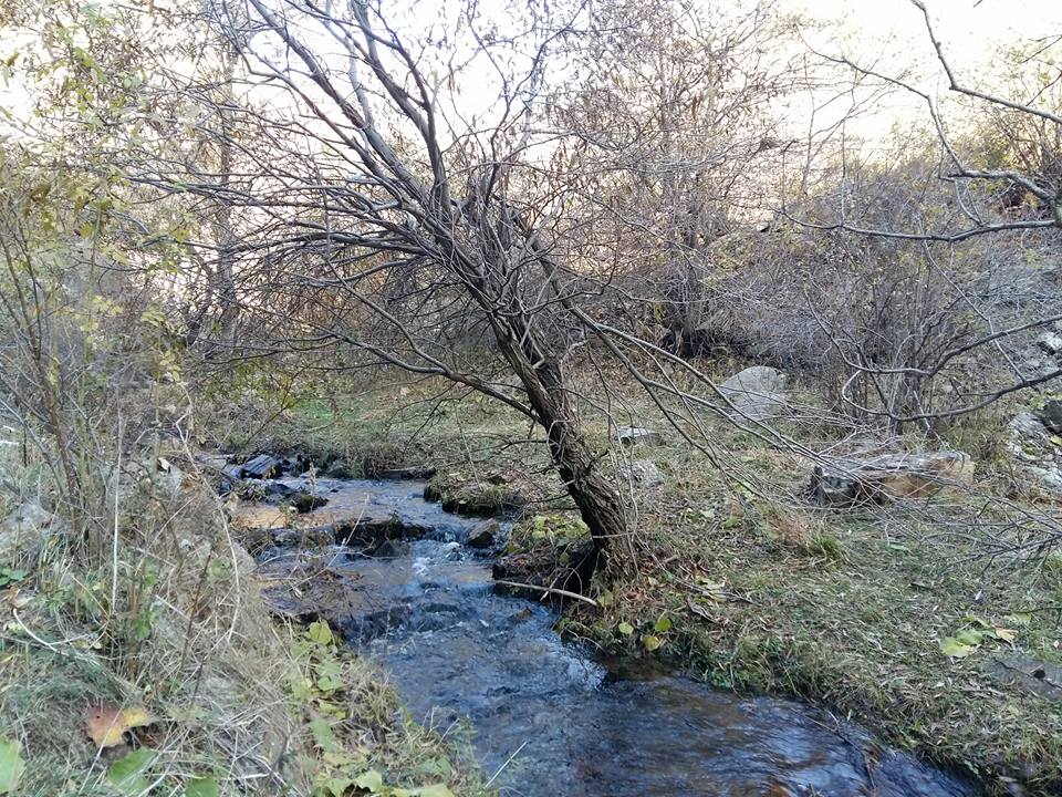
Water streams will be found all around the trail. Beware of bears especially in early morning and late-night hikes.
How to get there?
The trail starts from Vernashen village, for about 130 km (2h15m) from Yerevan, via E117 interstate road.
Trail characteristics
6.5 km
7-8 hours (hiking) back & forth
min: 1544m, max: 2343m, ascent: 882m, descent: 83m
Hiking
* marking signs (posts)
What to do?
The trail is appropriate only for hiking.
What to see around?
Within the trail you will come across with cultural monuments & attractions listed below:
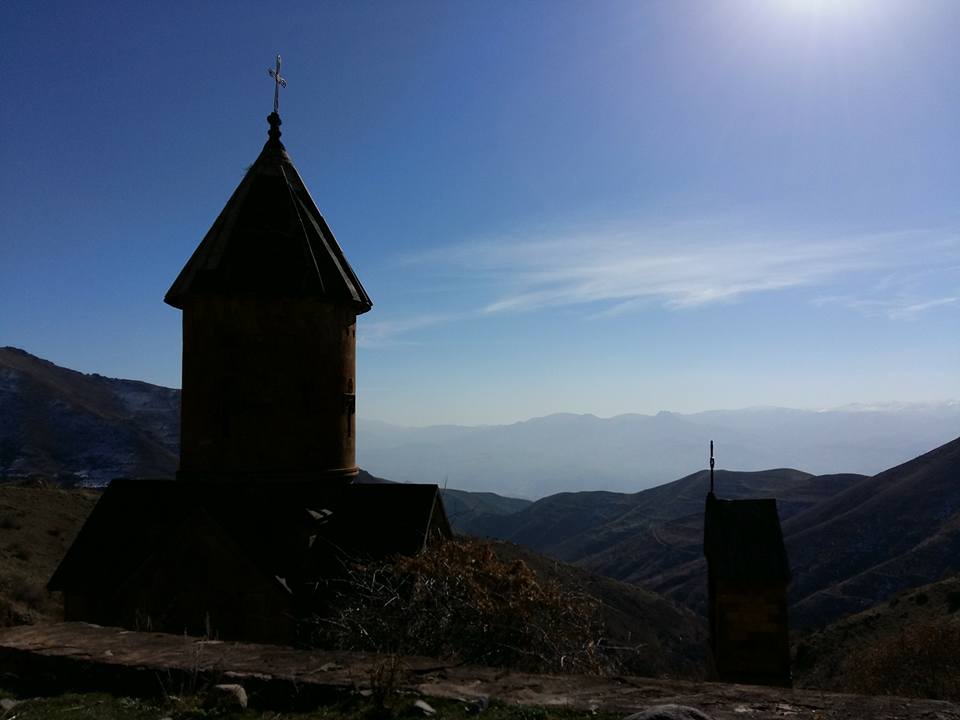
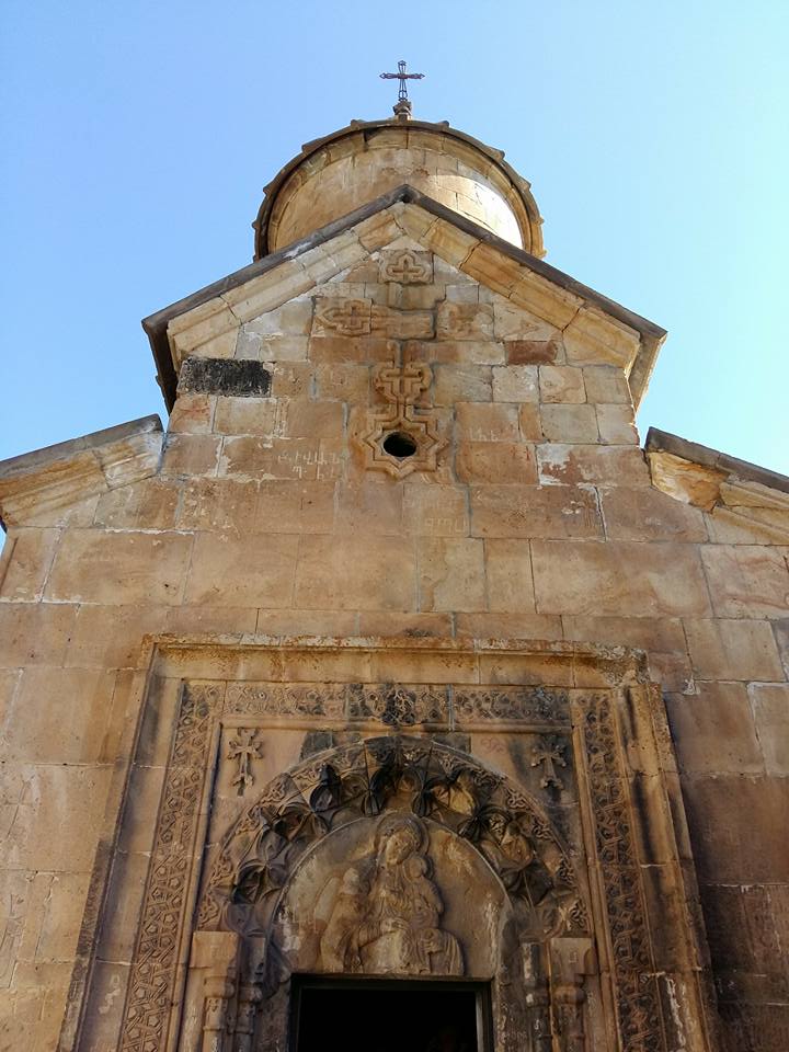
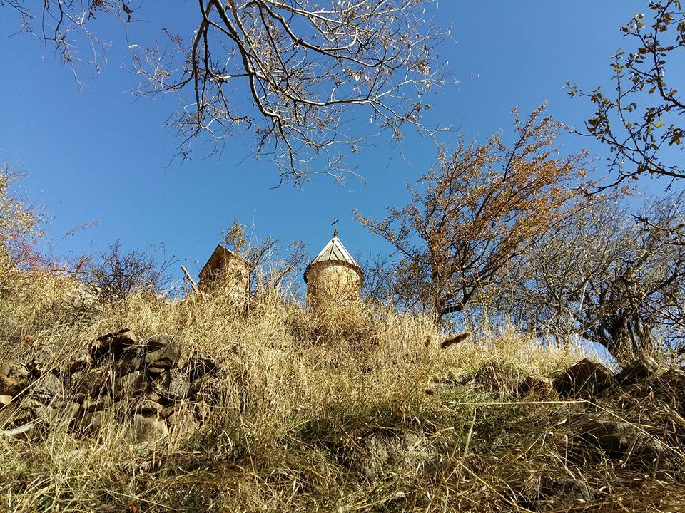
- Spitakavor Monastery (St. Holy Virgin), 14th century
- Boloraberd (Proshaberd) Fortress, 13th century
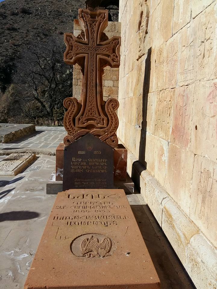
- National Hero, Garegin Njdeh’s grave
Where to stay?
You might stay at B&B’s and guesthouses in the region or camp around the Monastery. For more information check out our database of B&B’s.
Nearby destinations
There are several destinations and hiking trails in the region; it worth you spend several days in the region.
- Aghavnadzor to Hors town
- Shatin to Shativank Trail
- Yeghegis to Smbataberd Fortress & Tsakhats Kar Monastery
- Amaghu to Noravank Monastery
Flora & Fauna
To be updated shortly
Elevation profile
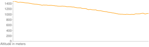
Photo album


GPS track
Follow the GPS track of this trail via the below map; however, keep in mind to consult with local guides before heading to the trail.
Credits
Trail marked by AHA Armenia
Photo credit: Suren Khazarchian
Information generated by: Hikers.am