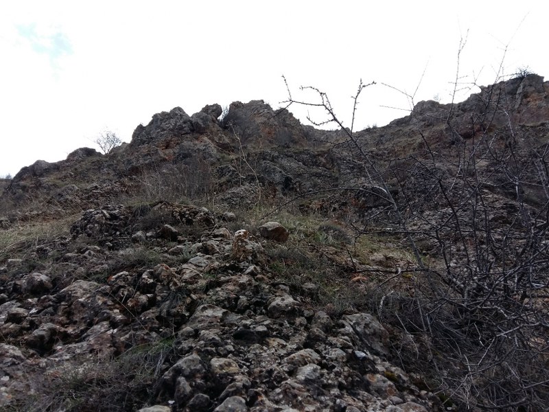
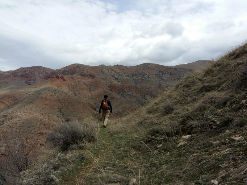
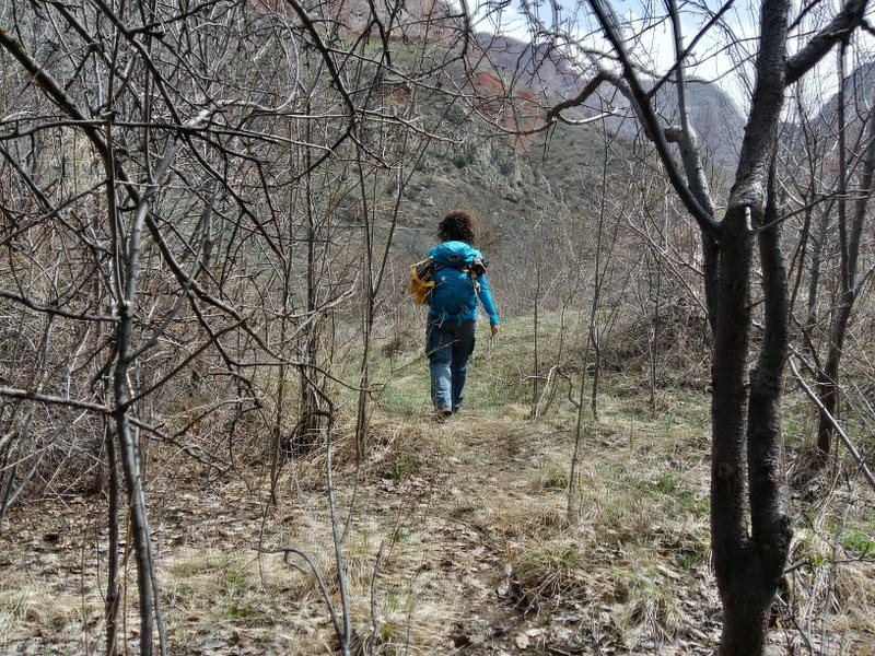
The trail starts from the outskirts of Nor Amaghu village (Vayots Dzor region) heading to Noravank Monastery (Vayots Dzor region), passing through a moderate terrain surrounded with high cliffs and deep gorges. You will be passing parallel to Gnishik river during the last 30 minutes of the trail. By the way, the start point of this trail is around 15 minutes away from Areni, therefore you would better to plan a multiple day visit to Vayots Dzor and take an advantage of visiting dozens of destinations in the region. Do not miss tasting the mouth-watering Armenian wine in Areni.
How to get there?
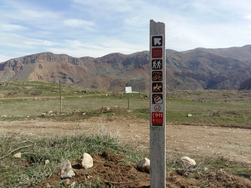
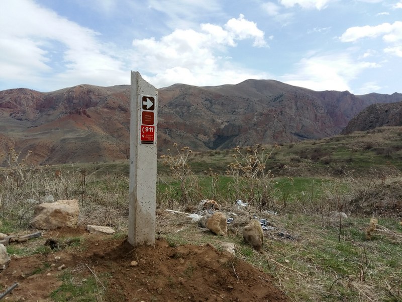
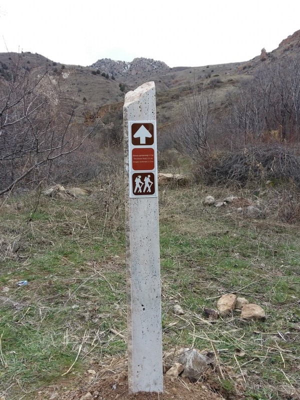
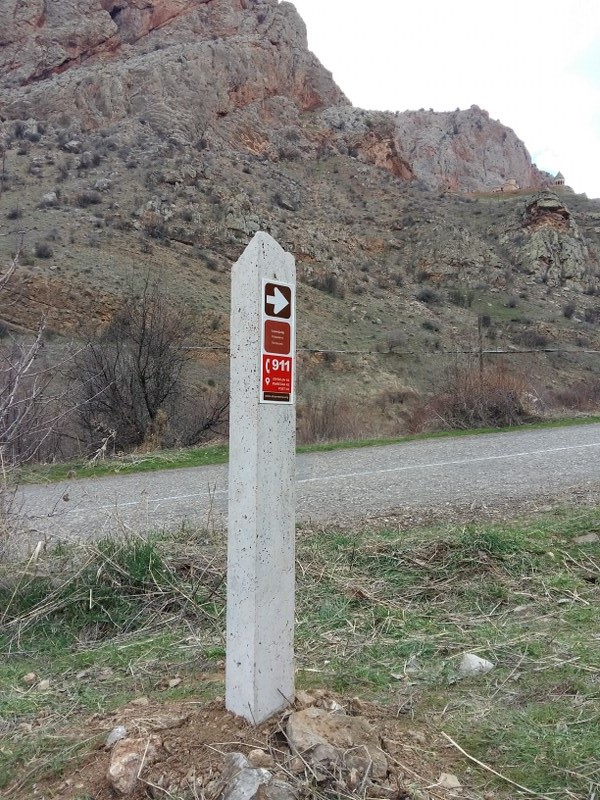
The 1st marking sign (post) is located in 39°40'55.8"N 45°12'40.3"E position. You will have to drive to the start point via E117, H10 & H40 connection roads, for about 117 km (2h11m). Shall you want to pass through this trail backwards or instruct your driver to get to the end point, you will have to get to the last marking sign located in 39°41'04.1"N 45°13'59.2"E position, at Noravank Monastery which is around 117 km (2h11m) far from the Capital Yerevan via E117 & H10 connection roads.
Trail characteristics
3.5 km / 2.2 mi
2 hours (hiking)
min: 1390, max: 1558m, gain: 187m
Hiking, horse riding
8 marking signs (posts)
What to do?
The trail is appropriate for hiking.
What to see around?
Within and in the vicinity of the trail you will come across with cultural monuments & attractions listed below:
- Noravank Monastery (13th century)
- Gnishik River (24.8 km)
- Saint Astvatsatsin church (12th century)
- Saint Karapet Church (13th century)
Where to stay?
You might stay in B&B's in Areni. For more information, check out our database of B&B's.
Nearby destinations
There are several destinations and hiking trails in the region; it worth you spend several days in the region.
- Aghavnadzor to Hors town
- Shatin to Shativank Trail
- Smbataberd to Tsakhats Kar Monastery
- Vernashen to Spitakavor Monastery
Flora & Fauna
Elevation profile
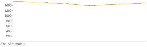
Photo album


GPS track
Follow the GPS track of this trail via the below map; however, keep in mind to consult with local guides before heading to the trail.
Credits
Trail marked by AHA Armenia
Photo credit: Njdeh Andreas
Information generated by: Armenian Outdoor Adventures