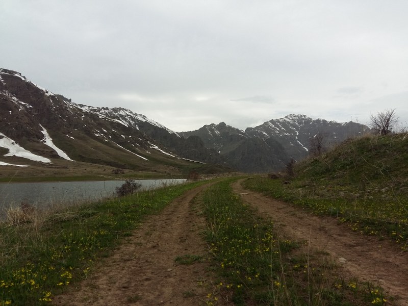
The trail starts from Aghavnadzor town (Vayots Dzork region) heading to Hors town (Vayots Dzor region), passing through green medows and forest-covered slopes of Karkatar mountains. You will come across with Aghavnadzor reservoir and Hors Lake (at 2100 meters) within the trail; you might set up your camp in the vicinity of the Lake. Plan a multiple day visit to Vayots Dzor and take an advantage of visiting dozens of destinations in the region. Do not miss tasting the mouth-watering Armenian wine in Areni.
How to get there?
The 1st marking sign (post) is located in 39°47'15.6"N 45°13'42.0"E position. You will have to drive to the start point via E117 & H10 connection roads, for about 121 km (2h17m). Shall you want to pass through this trail backwards or instruct your driver to get to the end point, you will have to get to the last marking sign located in 39°51'13.3"N 45°12'41.9"E position, in Hors town. Hors town is around 139 km (2h30m) far from the Capital Yerevan via E117 & H10 connection roads.
Trail characteristics
19.7 km / 12.3 mi
6 hour (hiking)
min: 1214m, max: 2156m, gain: 922m
Hiking, jeeping, horse riding, snowshoeing
8 marking signs (posts)
What to do?
The trail is appropriate for hiking, jeeping and horse riding; in winter time you will also be able to snowshoe on this trail.
What to see around?
Within and in the vicinity of the trail you will come across with cultural monuments & attractions listed below:
- Mount Ulgyur, Teksar Mountains (2690m)
- Saint Maryam church
- Saint Astvatsatsin church (12th century, 4km northeast of Aghavnadzor)
- Hors Lake (@2100 meters)
Where to stay?
Camping around Hors Lake is a good option within this trail. Moreover, there are several accommodation options in B&B's in Areni. For more information, check out our database of B&B's.
Nearby destinations
There are several destinations and hiking trails in the region; it worth you spend several days in the region.
- Nor Amaghu to Noravank Monastery Trail
- Shatin to Shativank Trail
- Smbataberd to Tsakhats Kar Monastery
- Vernashen to Spitakavor Monastery
- Yeghegis State Sanctuary
Flora & Fauna
The warm climate assures a diversity of flora in this region; Alhagi, Thýmus, Astragalus, Rōsa, Achillea, Cephalaria, and Matricária are common in the region.
Beware of the wild life; you might come across with poisonous snakes (Macrovipera lebetina), foxes, wolves, jackals, bears, partridges, quails, eagles.
Elevation profile

Photo album
GPS track
Follow the GPS track of this trail via the below map; however, keep in mind to consult with local guides before heading to the trail.
Credits
Trail marked by AHA Armenia
Photo credit: Njdeh Andreas
Information generated by: Hikers.am