
Description:
Located in Vayq district of Vayots’ Dzor region (3 km to South-West of Karmrashen village, North-West of Herher village), Mount Vayots (Vayots Sar) is a volcanic cone with an altitude of 2581 meters standing still in Laynanist mountain range. At the top, there is a 125-meters deep crater.
The slopes of Vayots Sar are used as pasture; therefore, you might come across with herds. Ascend Vayots Sar from Eastern slope. Winter and spring are considered as best ascending seasons; you might even ski down the hill in winter.
It is noteworthy to know about the crevice passing through Herher village, with a cold air flow out from the crevice. Villagers have built cellars on the crevice to utilize the cold air flow.
Geo-location: Latitude: 39° 47' 47.5" (39.7965°) north; Longitude: 45° 29' 46" (45.4961°) east.
Features:
| Location: | Vayots' Dzor region, Vayq district |
| Distance from Yerevan: | 158 km, 3-4 hour |
| Start point: | in-between Herher and Karmrashen villages |
| Duration: | 10 km, 4-5 hours (back & forth) |
| Altitude: | 2581 m (Altitude gain 600m) |
| Type: | Volcanic cone |
| Difficulty level: | 1 (on 1-10 scale) |
| Dangerous passages: | none |
| Accompany of guide(s) is recommended! |
Accommodation:
Camping around the slopes.
Photo album:
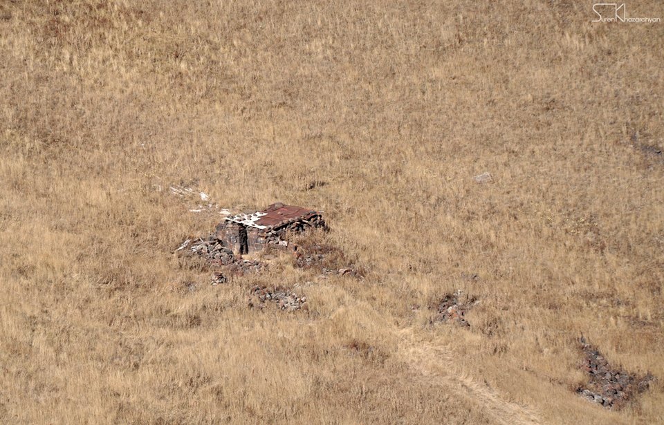
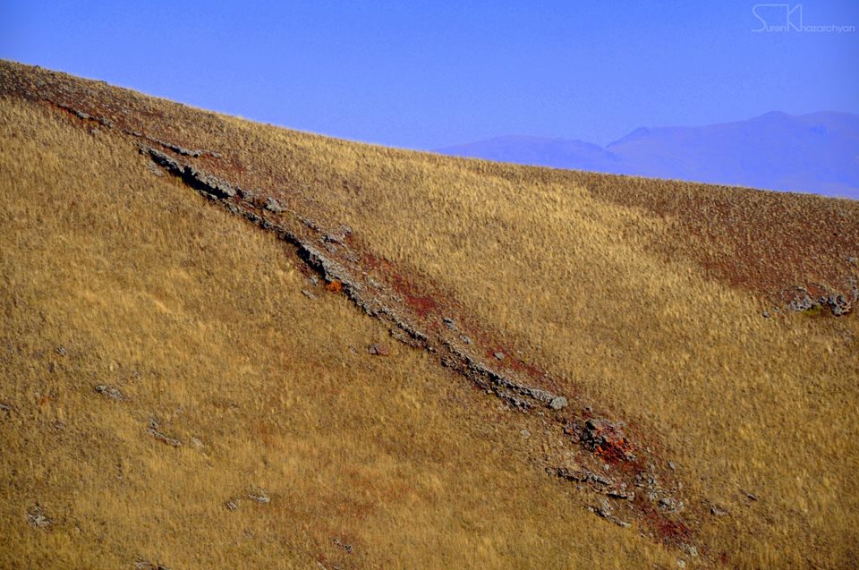

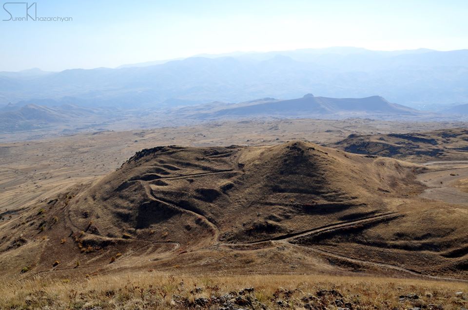
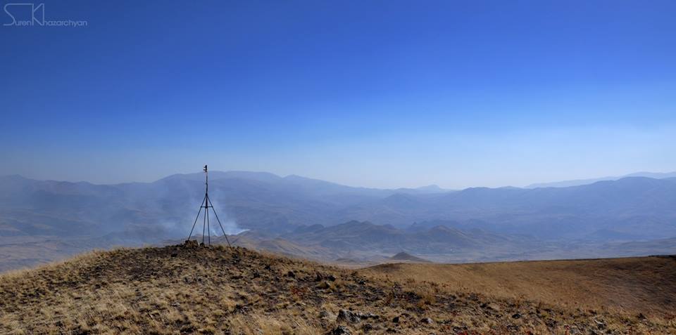
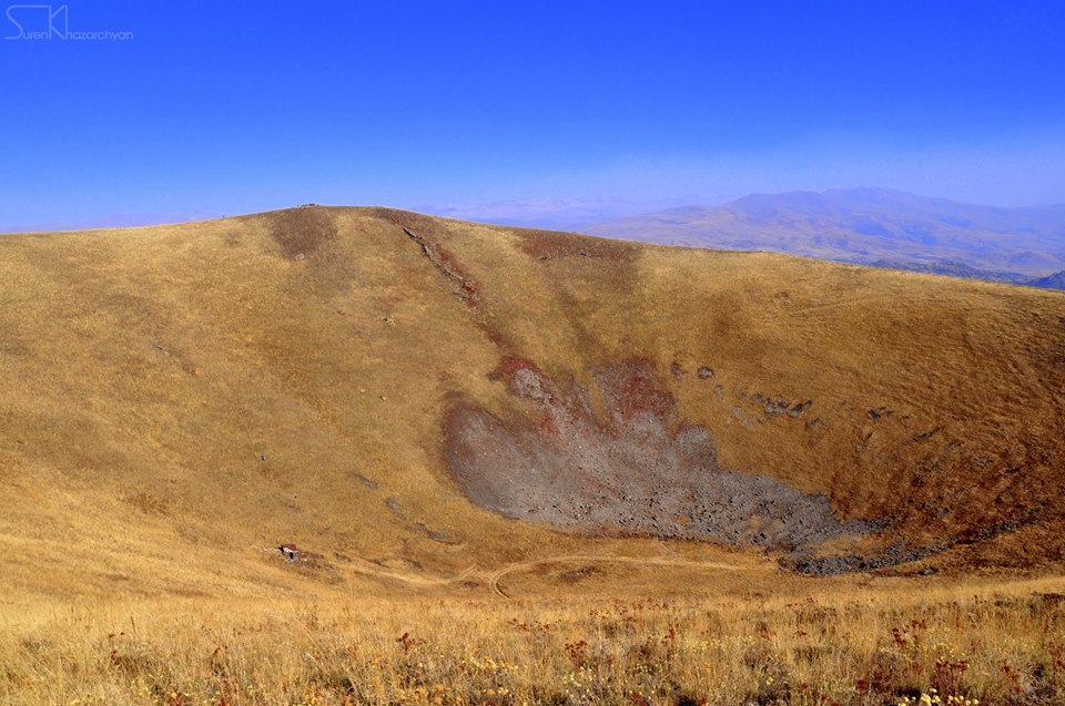
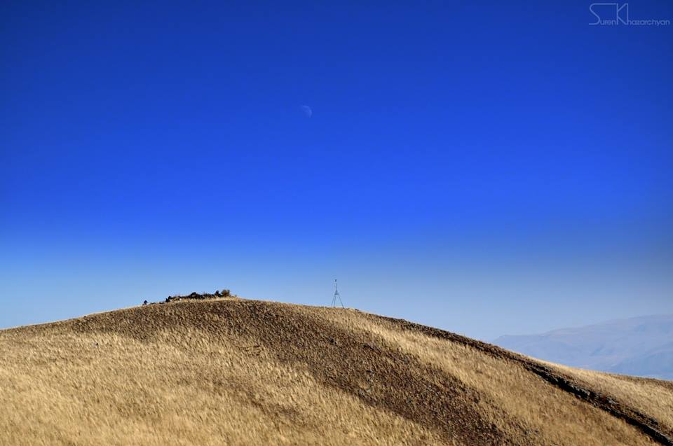
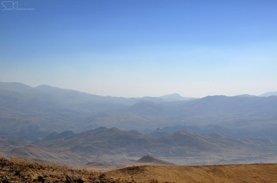
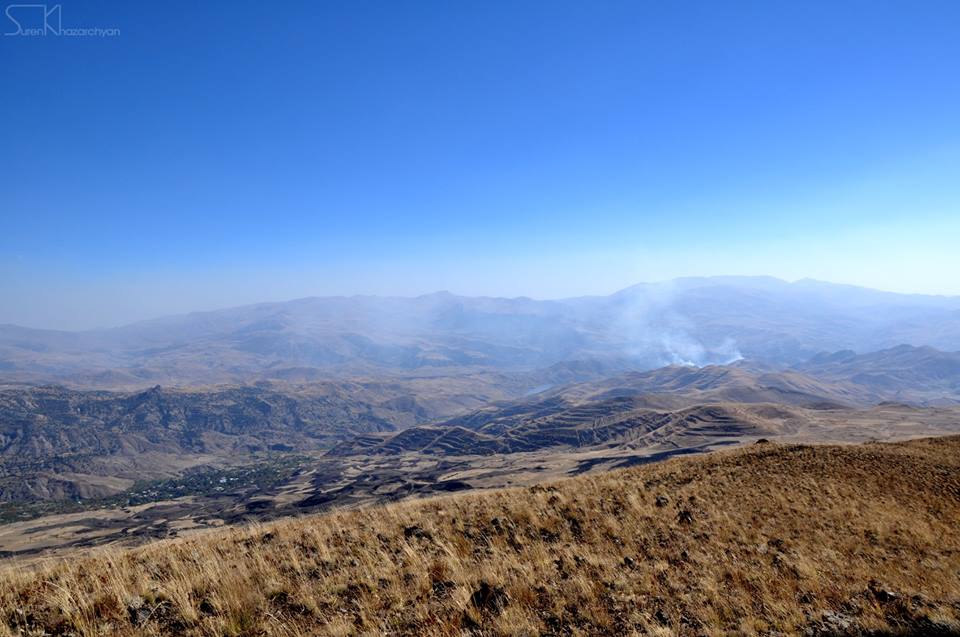
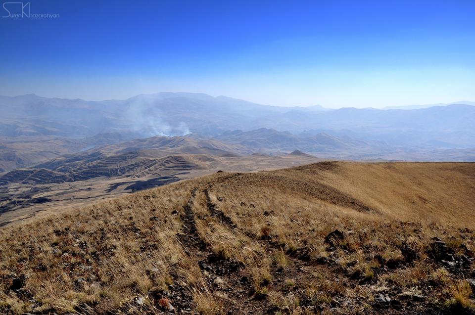
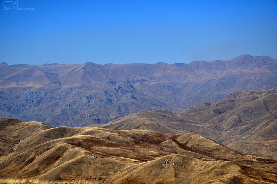
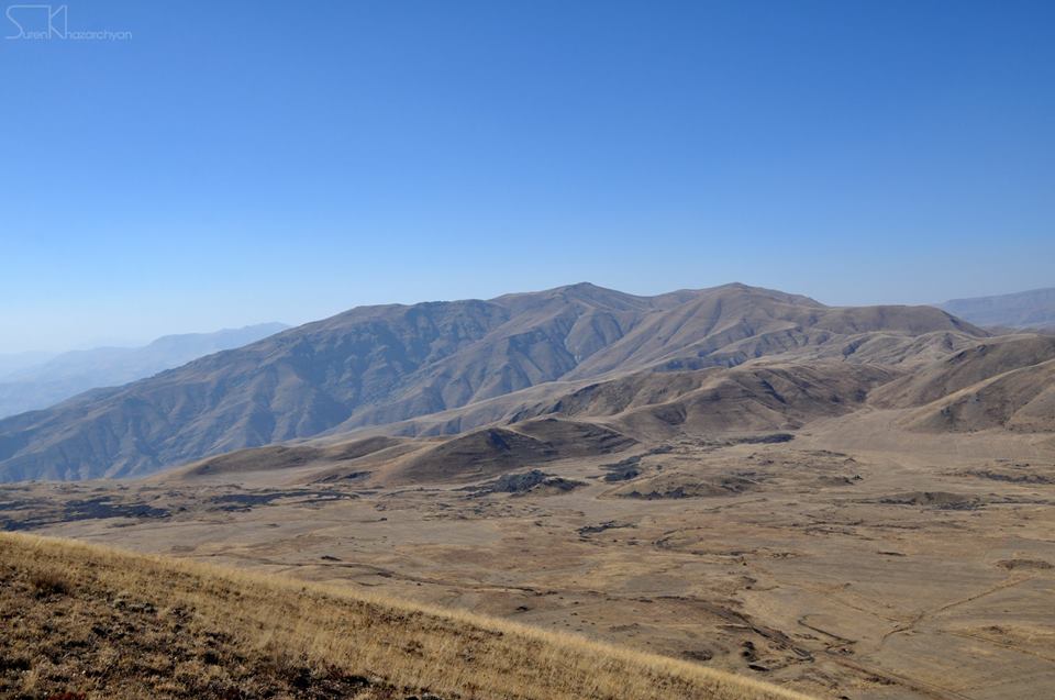
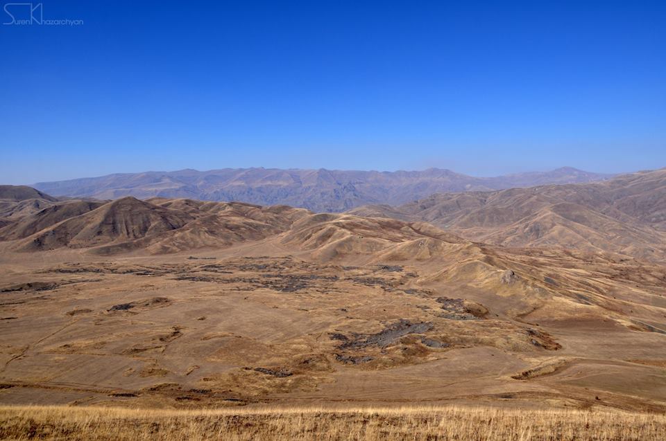
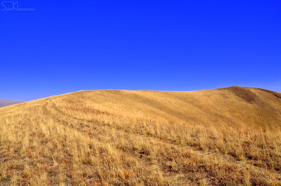
Photo credit: Suren Khazarchyan (Hikers.am)
Information provided by: Suren Khazarchyan (Hikers.am)