Description:
The highest Summit of Tsaghkunyats Mountain Range in the south-eastern branch of Teghenyats Mountain Range, accessible from both Buzhakan & Yeghipatrush villages.
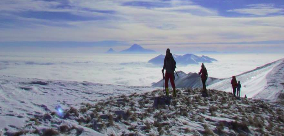
The trail passes through forests and slopes rich with mineral water springs and promises an amazing view of Mt. Ararat, Mt. Aragats, Mt. Ara, Geghama mountain range.
You will come across with Teghenyats Monastery and Yeghipatrush Church on your way to the Summit.
Features:
| Location: | Aragatsotn (Tsaghkunyats mountains) |
| Distance from Yerevan: | 1.5 hour (Yeghipatrush), 1 hour (Buzhakan) |
| Start point: | Yeghipatrush, Buzhakan, or Aghveran |
| Duration: | check out ascending options |
| Altitude: | 2851m |
| Type: | volcanic with marble & slate sediments |
| Difficulty level: | 4 (on 1-10 scale) |
| Dangerous passages: | none |
|
Accompany of guide(s) is recommended! |
Ascending options
Option 1 - Start point: Yeghipatrush | End point: Buzhakan
Walking distance: 14km, 9 hours (Winter)
Option 2 - Start point: Buzhakan | End point: Buzhakan
Walking distance: 18.5km, 6.5 hours (Spring)
Accommodation:
Camping on n the slopes and the forest;
In emergency situations, the Aviation Control Center on the Summit is also an option.
Photo album:
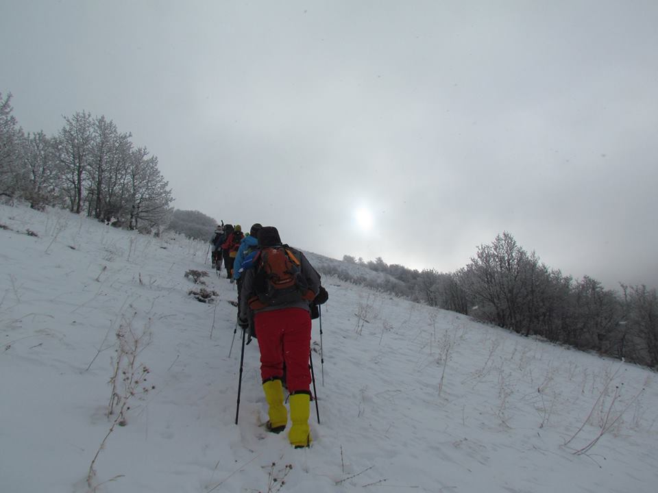

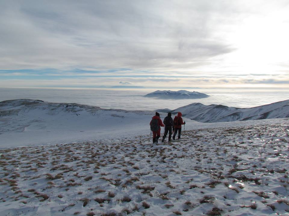
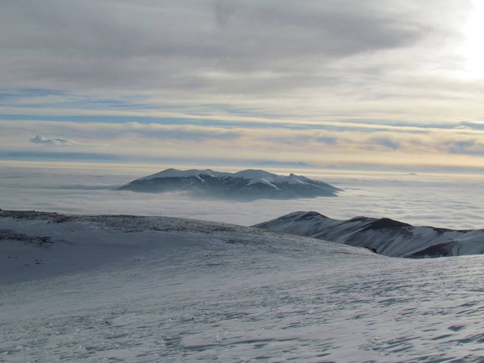

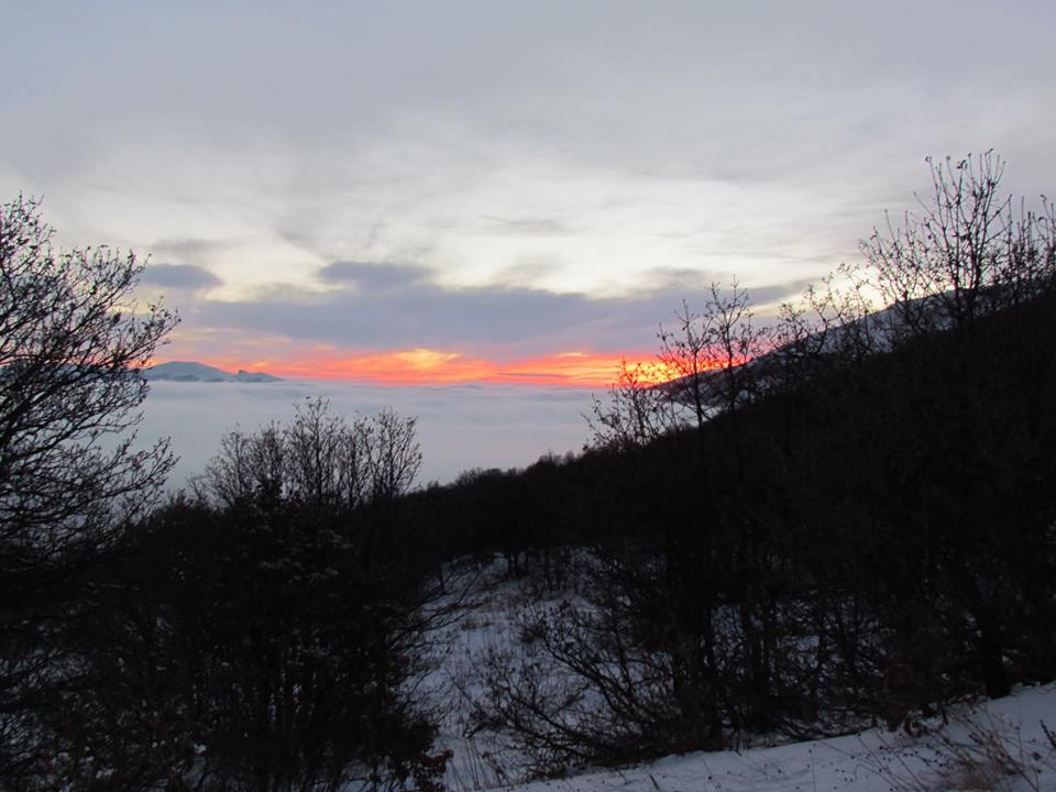
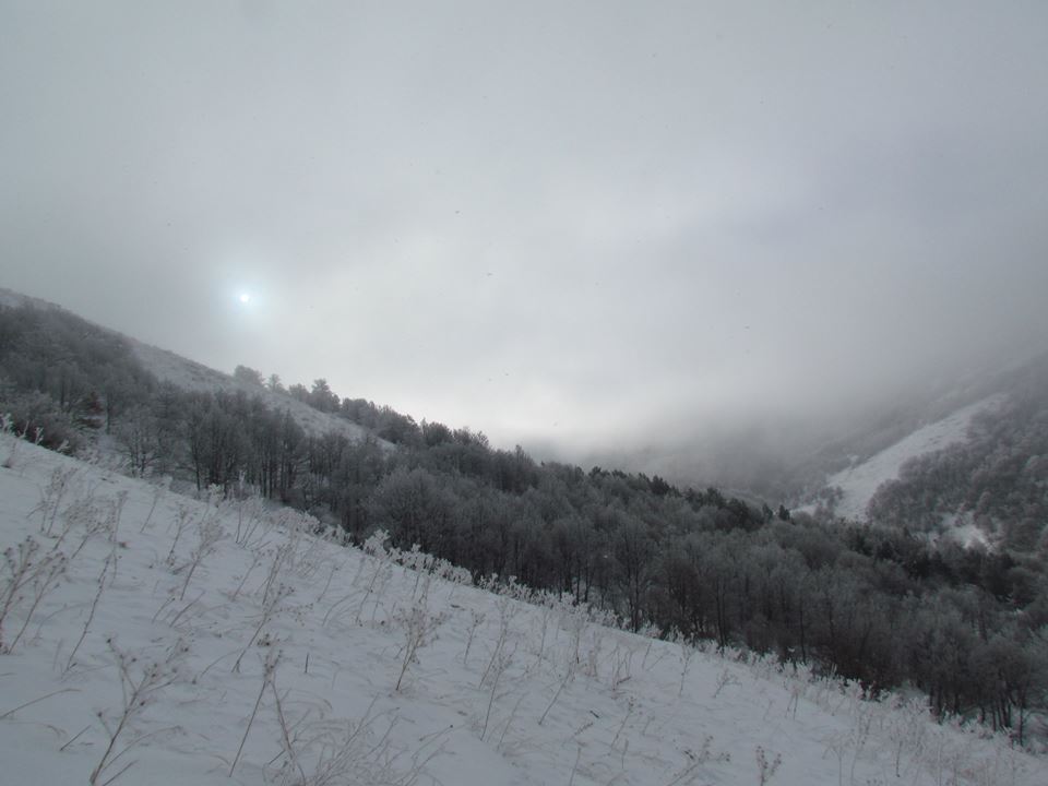


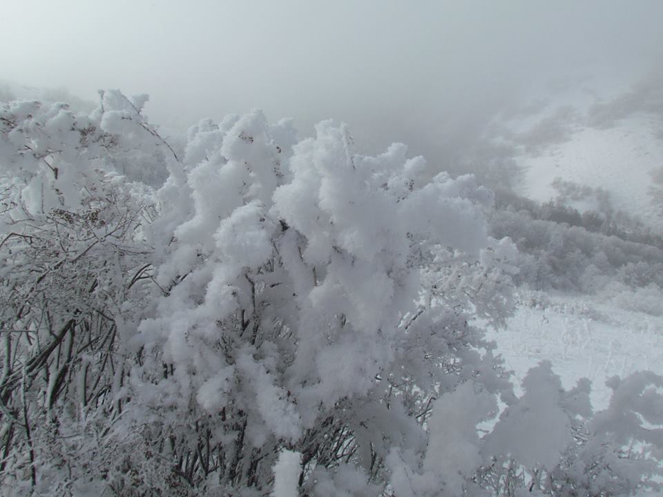
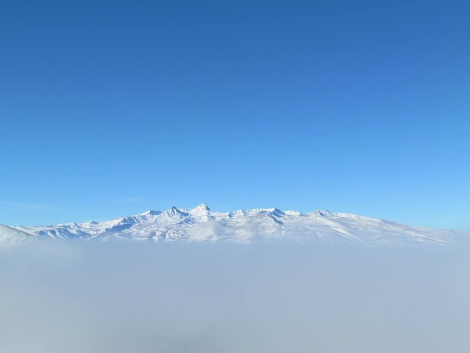

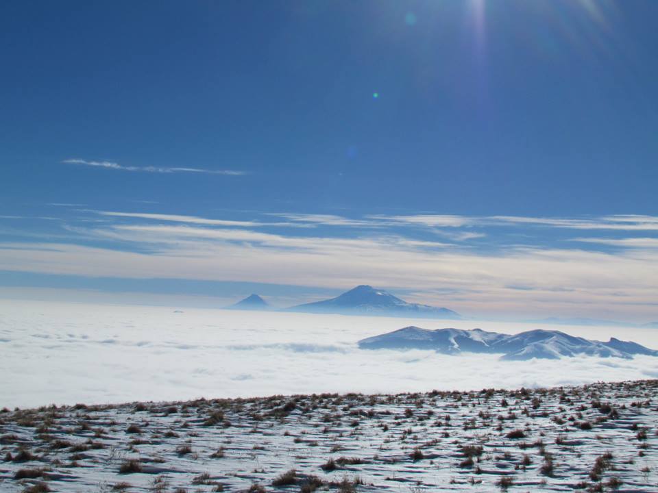
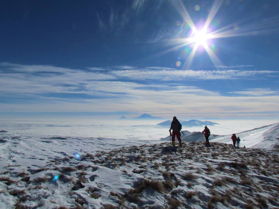
Photo credit: Njdeh Andreas
Information provided by: Vahe Pezeshkian